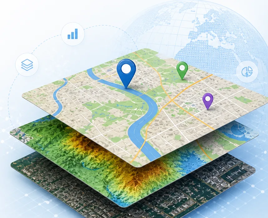
Review parcels, elevation context, slope, aspect, contours, and sunshade outputs before planning field decisions.
Industries
Spatial workflows for land, infrastructure, mobility, and field teams.
Terrasis is useful wherever location, weather, terrain, object movement, and map-based decisions matter. Premium plans can reserve server resources for heavier GIS layers and preprocessing.
Use aircraft, ship, route, coordinate, and weather context for operational visibility and movement planning.
Combine temperature and humidity into comfort map ideas for travel, leisure, and local planning decisions.