Day and night shading, sun and moon markers, temperature maps, aircraft samples, ship samples, and location-aware hover readouts.
Solutions
One GIS workspace for map, sky, terrain, and route decisions.
Terrasis combines live map layers with practical field tools: weather maps, sun and moon awareness, 3D globe visualization, right-click coordinates, aircraft and ship layers, DEM analysis, and export-ready workflows.
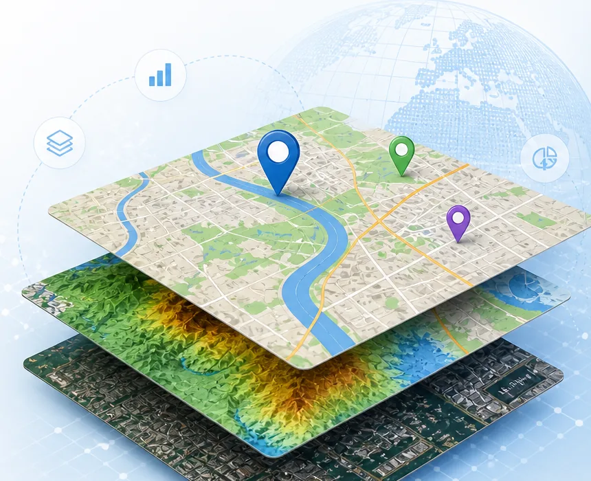
Globe view with sun direction, moon distance, eclipse focus, terrain output, object details, and visual toggles for heavy layers.
Draw, measure, copy coordinates, run route planning, inspect attributes, and unlock premium export options after subscription confirmation.