Use elevation-aware views to inspect slopes, high ground, routes, and visibility context before field decisions.
3D GIS workflow
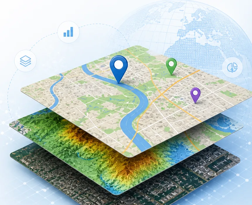
3D GIS maps help teams understand elevation, terrain, and sky context.
Terrasis combines 2D map work with a 3D globe-style view so planners can inspect terrain, nearby objects, day-night shading, sun direction, moon position, and operational layers in one browser workspace.
Show sunlight, moon direction, sun rays, and day-night zones to understand the operating environment.
Combine map objects, aircraft, ships, and weather overlays with 3D spatial orientation.