Use India-wide weather points as a cached layer so pan and zoom stay smoother while the map updates on a practical interval.
Weather GIS
Live temperature maps make heat patterns easier to read.
Terrasis can visualize temperature as a map overlay so users can compare hot and cool regions, inspect local conditions, and combine weather with terrain, travel, and field planning workflows.
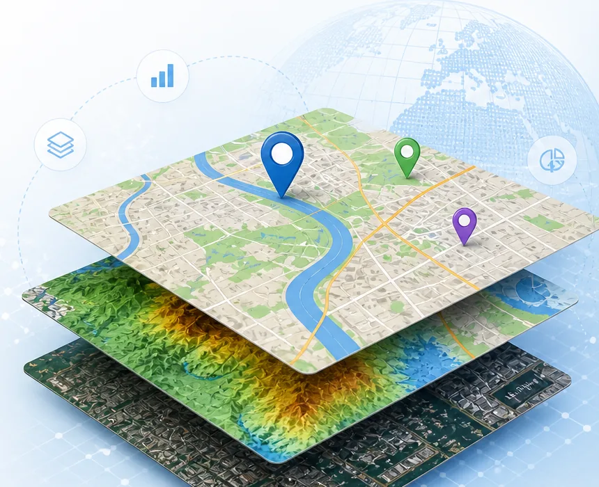
Show broad regional heat at low zoom and more local detail when the user moves closer to cities and districts.
Temperature can be combined with humidity later to identify comfort regions for travel, leisure, and field work.