No heavy desktop installation for the core workflow. Teams can view, analyze, and share map context from the web.
About Terrasis
Map intelligence for teams that work with real places.
Terrasis brings map viewing, terrain context, weather awareness, object layers, and route planning into one browser workspace. It is designed for land intelligence, field planning, infrastructure review, and premium GIS analysis.
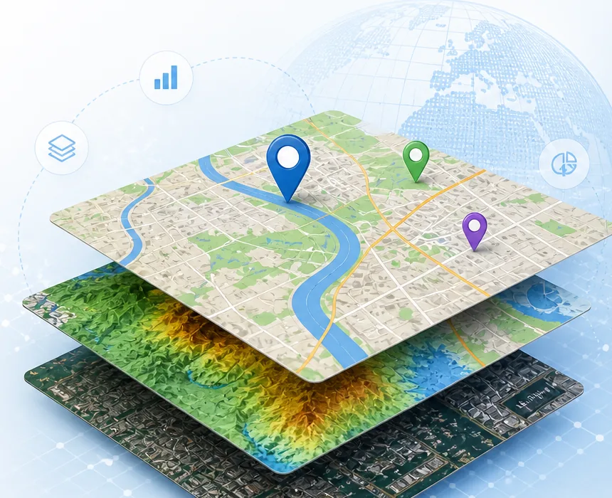
DEM, hillshade, slope, aspect, contours, 3D terrain output, and route planning are built into the workspace.
Paid premium access is confirmed through FiniteSkills payment before advanced layers, exports, and heavy processing are unlocked.